PLEASE NOTE: Old Quarry Campground, which was a key access point to the waters surrounding Deer Isle, was recently sold to a private individual and is now closed.
Deer Isle is located in Maine's Penobscot Bay and is the second largest Island along the Maine Coast. Only Mt. Desert Island, located just 9 miles to the northeast., is larger. Life on Deer Isle is quite different then it is on Mt. Desert Island; there are few tourists and the villages have remained the save much as there were in years gone past. There are no fast-food joints, big box stores or bars, which makes the area a great place to get away from the hustle and bustle of the typical tourist areas.
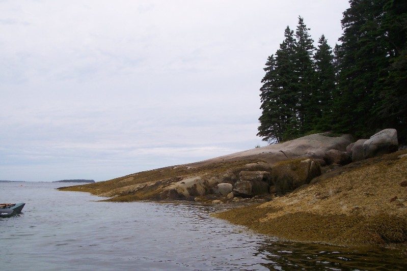
Deer Isle is accessible by vehicle via the Eggemiggin Reach bridge which spans the Eggemiggin Reach at the northern end of the island. This is the sister bridge to the Tacoma Narrows Bridge that collapsed in 1940 due to wind vibrations. Because of location of the Eggemiggin Reach bridge, it is not subject to the same forces that brought down the Tacoma Narrows Bridge. The first town you enter after crossing onto the island is Deer Isle. At the southern end is the town of Stonington, which was once known as Green's Landing. The island is comprised of mostly granite and back in the 1800's, the island's primary industry went from fishing to granite. Granite from the island was used in the construction of the Rockefeller Center, New York County Courthouse, the JFK Memorial in the Arlington National Cemetery, the Manhattan Bridge and the George Washington Bridge. Because granite quarries had such an impact on the local economy, the town of Green's landing was renamed Stonington in 1897. Today, granite has taken the back seat to fishing as the primary source of income for the island's residents; over 50% of the residents of the island are once again employed in the fishing industry in some way.
The waters surrounding Deer Isle are dotted with Islands which the Maine Island Trail intertwines amongst. These smaller islands also act as a barrier, protecting the area from the full influence of the Atlantic Ocean. On average, there is a difference of 12 feet between high and low tides, so trip planning will be critical. For the more experienced kayaker, a trip to Isle Au Haut is a must. Isle Au Haut, meaning "High Island", is about 6 miles south of Deer Isle and is accessible only by boat. About 50% of the island is part of Acadia National Park, so allow for some extra time to get out of your kayak to explore the island and absorb all of the sights of the surrounding area. For those that would like to spend more than one day on the Island, there is only one option for camping: Duck Harbor Campground. The campground has a total of 5 sites and can accommodate up to 6 people per site. Each of the sites are equipped with lean-to shelters, fire rings and picnic tables. There are also a privy and a hand pump for fresh water. Special use permits are required and can be acquired by contacting the park. There is a 3-night maximum stay from mid-June to mid-September and a 5-night maximum stay before and after these dates. The cost is $25 per night and like most of parks in the state, there are no trash containers, so it is carry in and carry out... To reserve a site at the Duck Harbor Campground, contact the Acadia National Park by
Clicking Here